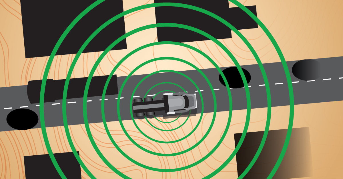
Science fiction probably has you believing that an autonomous vehicle can just be turned on, told to go somewhere, and it takes off down the road, following its brain full of programmed coordinates. “The computer” just knows where to go. When it comes to real world trucking autonomy however, there’s a lot more that goes into the creation of a route, from Point A to Point B.
And it starts with a map; not a simple map, but one of the most detailed maps technologies could possibly create.
Creating A New Route: First, A Map
Before we drive our trucks on any road in autonomous mode, we start by plotting out a route and checking it out in manual mode first. It’s kind of like using Google Street View to “see” the road before you go on a road trip to a new place. But we’re not relying on an outside GPS or mapping system. We’re creating our own maps by using our autonomous technology as the tools to capture information about the road.
Currently, Torc’s teams of mapping engineers and drivers are mapping out new routes by, simply, driving them, as any freight truck would do. Our trucks, however, are using their onboard technology – radar and Lidar sensors, and cameras — to record billions of points of data about those drives to bring back to our teams. That data, recorded and harvested from the repeated manual drives, is the basis of the autonomous route maps Torc will build for our trucks to use going forward.
Sensors As Capture Instruments
Zach Taylor, Software Progression and Testing Coordinator, has been leading the mapping technical direction, making sure that everything is aligning with all the testing efforts and resources on the road with Torc’s stringent safety protocols. “We have the truck set up in a specific way where we can utilize all the sensors on them so that they can collect the mapping data that we need… and nothing else really. Right now, it is just object detection and volume and hours… and more hours,” Zach says. “We’re just collecting data points and we’ll bring it back to our mapping team so they can put a map together for us.”
“Right now, it’s a normal truck on a normal road,” says Zach. “And again, we do have our updated sensors on it, but there’s no impact or autonomy decisions happening, nor do we intend there to be until we have sufficient evidence that we are ready to test on it.
“Essentially what we’re doing is using the tractor as a big data collection device. We set it up that way. And to make the routes eventually commercially viable for freight companies to use in the future, we must know everything we can,” says Fred Forstner, who manages Torc’s Albuquerque planning and coordination efforts. “And so that’s why we use the tractor and all of its sensors to collect terabytes and terabytes of information you take back so that our people in Blacksburg can create those maps that then we can use to execute the autonomous operation.”
For these mapping road trips, Torc sends two drivers out in a truck, along with a safety conductor and an engineer to monitor all the logistical and technical components, whether it be the Lidar scans or the route itself to make sure that we’re getting the data we need. The truck runs as a “bobtail,” which means the truck is not running with a trailer. It makes the drive more efficient and keeps the crew from dealing with trailer logistics for breaks, and so on.
As Fred notes, “the reason that the relief driver is there is because these routes are long enough that we’re reaching the legal limits of their hours of service. And that’s interesting because it kind of points out one of the advantages of autonomous driving. Ultimately, we won’t have those limitations because it’ll be the computer doing the driving, and the computer can run indefinitely.”
Collection of Data: Logging Nodes
In place of our usual testing data collection stack, the truck’s computers are instead charting and recording all the route information into giant memory banks, or logging nodes. “We will pack those full of data and when they get full, we swap in a new one and keep going,” says Fred.
After the mapping road warriors return to our testing and engineering groups, Torcr’s get those nodes and data back to make the maps and start driving in simulation tests. “From those first passes, we will start driving Torc trucks in a simulated environment. Now, we can successfully do different scenarios, different routes outside of our normal operations,” says Fred.
Once we simulate a truck on the new route and go through the various necessary safety and permissions gates, we’ll be able to get on the road, to begin actual test drives. And then we’ll repeat the process over, and over again.
For more news and information about Torc and our autonomous trucks, follow us on social media.


