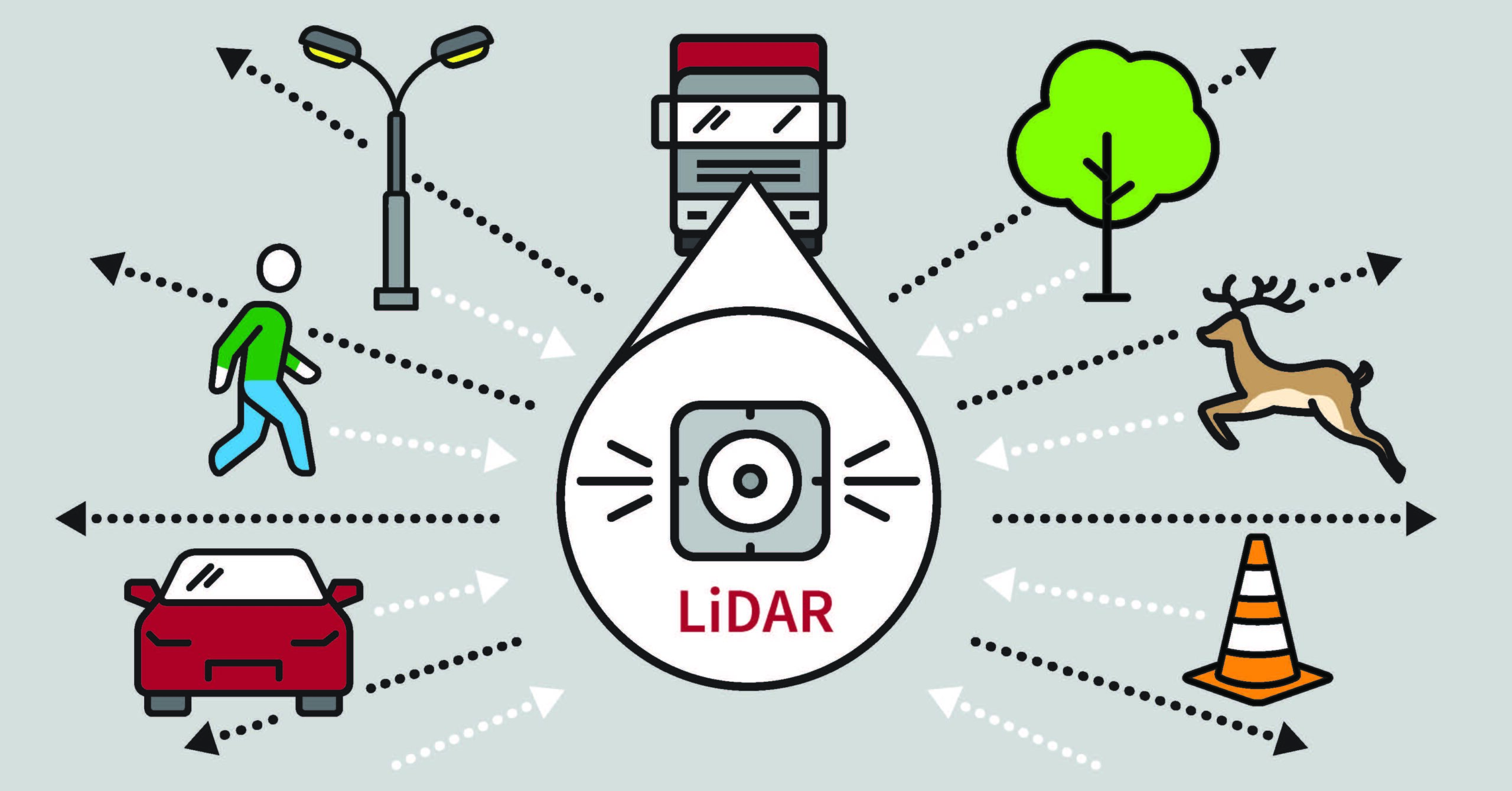
What is LiDAR: Self-Driving Vehicle Basics
What does the word ‘lidar’ mean? If you hear the word “radar,” you have a pretty good idea what it is… especially if you’ve ever been pulled over for speeding. But do you know “lidar” and what makes lidar technology different? And do you know how lidar data is already being used in your everyday life?
Radar technology, an acronym for “Radio Detection And Ranging,” uses radio or electromagnetic waves to measure distance or detect objects. Similarly, with its acronym even based off of “radar,” lidar is “Light Detection And Ranging” or “Laser Imaging Detection And Ranging.” It is basically a 3-D laser scan done with lasers, which of course, are concentrated light sources.
In the simplest terms, lasers scan an object and then bounce back to the originating machine. The time the light takes to return is measured and therefore, the object’s distance and size can be measured mathematically. The light lidar uses is in the ultraviolet, or near-visible range, and so, like sound waves, it is invisible and safe to the human eye. All those science fiction and action movies with green lights waving over a room to “see” if there’s anyone in there, breaking up the laser beam? That would be Hollywood’s interpretation of lidar.
In the real world, lidar is used in GIS and mapping; those boxes on tripods you see on the sides of roads or construction sites with surveyors contain a lidar sensor or a lidar scanner. Additionally, it’s used in agricultural and geological surveys to reveal details in the landscape, forests, and crops across huge areas.
Lidar has also been used in astronomy, mapping Mars before the Rover arrived using very specific, very fast laser pulses, as well as determining that the moon is moving away from the Earth… at the not-so-very-fast speed of 3.8cm a year.
TORC AND LIDAR
Torc’s autonomous vehicles use radar, camera images, and lidar simultaneously. Combining radar and lidar in autonomous transportation provides a self-driving vehicle a more robust scan of the environment, judging distances between vehicles, lanes, guard rails, traffic lights, and so on, much faster than human eyes and brains can do in the same timeframe (and yes, the lasers are safe for human vision on the road).
While lidar provides higher resolution than radar, it can, in some conditions, get obstructed or occluded by rain or snow. As such, in autonomous driving, it’s only one part of a whole data compilation, including radar and visual tools, i.e., video cameras.
“Yes, sometimes radar is sufficient and more robust, like in adverse weather situations,” says Justin Chong, Director of Engineering. “But with radar you’re not getting the same fine grained, discrete points back like you do with lidar.“
“Lidars have a dense amount of information whereas radars provide good overview, with less precision,” says Andrew Cunningham, Product Owner.
Since lidar works at light speed, with some systems using millions of pulses per second, and it works constantly obtaining new data, it is an integral part of safely determining an autonomous vehicle’s surroundings.
So why doesn’t every self-driving vehicle company use lidar as part of its sensing suite? “It typically comes down cost and reliability,” says Justin. “Many of these sensors contain moving or rotating parts that are more prone to mechanical/electrical failure and will require maintenance or service making it more expensive in the long run. At this point in time, most lidar technology of any sufficient resolution is quite expensive. So, you add those costs to a commercial vehicle and it’s going to make it unaffordable to the average consumer. But that’s changing, as the technology progresses, like all tech, lower cost lidar will become ubiquitous, and a cost-effective part in this industry.”
Follow Torc to learn more about Autonomous Driving Technology, sensors, the freight industry, and more.
